EARTHQUAKES · WILDFIRES · FLOODS · STORMS

Know the truth and
scale of every hazard

Live fires, quakes, floods and storms, straight from USGS, NIFC and NOAA. Ranked by how close they are and how hard they'd hit.
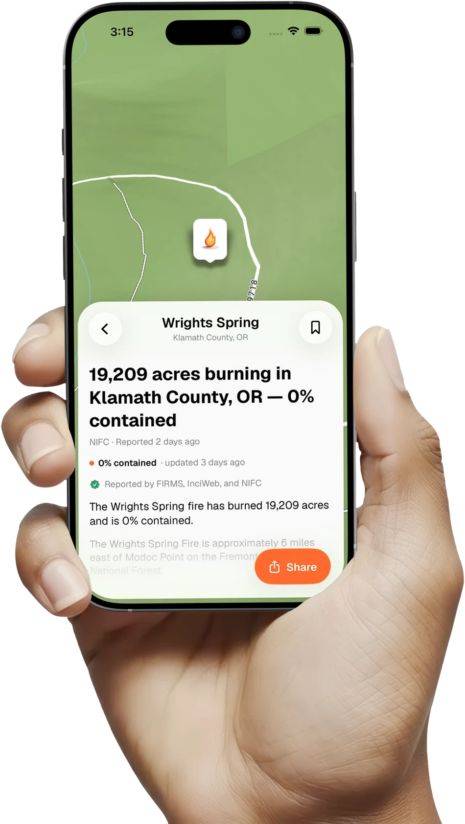
Epicenter showing a live wildfire event near you, held in hand
Coming soon to theApp Store Free to start. iPhone.
Straight from USGS · NIFC · CAL FIRE · NOAA · NWS

One screen for every hazard
near you.

The full picture on any fire, quake or flood. A live map, how hard the ground shook, and every agency update the moment it lands.

The closest hazard, first. Thousands of live fires, quakes, floods and storms, sorted by how near and how strong.

One map, from the whole country to your street. Satellite, drought, radar, river flow and burned acreage. The same layers the agencies use.

Get an alert the moment it's close. Set what matters — a fire within fifty miles, shaking over a magnitude you choose — and Epicenter watches for it around the clock, app open or not.

Know the risk before the day starts. Fire weather, heat, wind, rain and what's already burning nearby, scored hour by hour for where you stand — with a seven-day outlook for the week ahead.

You'll feel it before the sensors do. Tap once when the ground moves. Enough taps nearby, and a quake shows up here before any agency has confirmed it.

10 nearby felt strong shaking · just now
Unconfirmed — no agency has reported an earthquake here yet.

Free to watch your area.
Premium to be warned.

FREE
$0

No account. Nothing uploaded.

  • Live earthquakes, wildfires, floods & storms
  • Local conditions & week-ahead risk
  • Satellite & burned-acreage map layers
  • Report shaking you feel
PREMIUM
$4.99 / mo

or annual — cheaper per month. Cancel anytime.

  • Alerts that watch your area, day and night
  • Local dispatch: fires, rescues, wrecks, minutes old
  • Every map layer: drought, radar, river flow, wind
  • City and county incidents, beyond the federal feeds

Know before the sirens.

Coming soon to theApp Store